NASA Blasts Off Space Laser Satellite to Track Ice Loss
September 15, 2018 (afp.com)
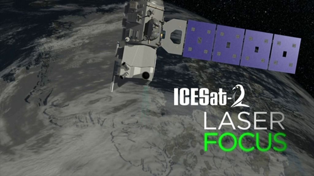
• On September 15th, NASA launched its most advanced space laser satellite on a three-year mission to track ice loss around the world and improve forecasts of sea level rise as the climate warms. The $1 billion, half-ton, ICESat-2 satellite was launched aboard a Delta II rocket from Vandenberg Air Force base in California. This will follow-up the original ICESat mission that lasted from 2003 to 2009.
• The first ICESat revealed that sea ice was thinning, and ice cover was disappearing from coastal areas in Greenland and Antarctica. In the intervening nine years, an aircraft mission called Operation IceBridge, has flown over the Arctic and Antarctic, taking height measurements of the changing ice.
• “The mission will gather enough data to estimate the annual elevation change in the Greenland and Antarctic ice sheets even if it’s as slight as four millimeters – the width of a No. 2 pencil,” NASA said in a statement. The new space laser will fire 10,000 times per second, compared to the original ICESat which fired 40 times a second, with measurements taken every 2.3 feet (0.7 meters) along the satellite’s path.
• The space laser will have the ability to monitor the changes taking place within the ice. This will improve NASA’s knowledge of areas such as the deep interior of Antarctica, which is “one such area of mystery,” said Tom Wagner, cryosphere program scientist at NASA.
• [Editor’s Note] I wonder what else they intend to monitor with their new space laser under the ice sheets of Antarctica? See Dr Michael Salla’s book: Antarctica’s Hidden History: Corporate Foundations of Secret Space Programs, and recent article, “More Scientists Confirm Volcanoes Rapidly Melting Antarctica’s Ice Sheets”.
NASA’s most advanced space laser satellite blasted off Saturday on a mission to track ice loss around the world and improve forecasts of sea level rise as the climate warms.
Cloaked in pre-dawn darkness, the $1 billion, half-ton ICESat-2 launched aboard a Delta II rocket from Vandenberg Air Force base in California at 6:02 am (1302 GMT).
“Three, two one, liftoff!” said a launch commentator on NASA television.
“Lifting ICESat-2 on a quest to explore the polar ice sheets of our constantly changing home planet.”
The launch marks the first time in nearly a decade that NASA has had a tool in orbit to measure ice sheet surface elevation across the globe.
The preceding mission, ICESat, launched in 2003 and ended in 2009.
The first ICESat revealed that sea ice was thinning, and ice cover was disappearing from coastal areas in Greenland and Antarctica.
In the intervening nine years, an aircraft mission called Operation IceBridge, has flown over the Arctic and Antarctic, taking height measurements of the changing ice.
But a view from space — especially with the latest technology — should be far more precise.
FAIR USE NOTICE: This page contains copyrighted material the use of which has not been specifically authorized by the copyright owner. ExoNews.org distributes this material for the purpose of news reporting, educational research, comment and criticism, constituting Fair Use under 17 U.S.C § 107. Please contact the Editor at ExoNews with any copyright issue.